
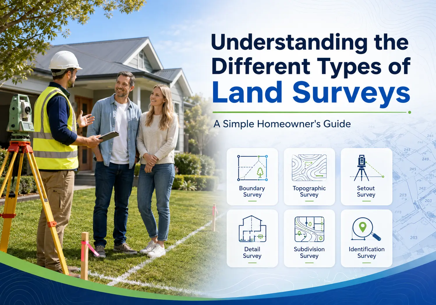
If you’re planning to build a home, add an extension, put up a new fence, or divide your land, you’ve probably been told that you need a land survey for all that.
The confusing part is that there isn’t just one type of land survey. There are different surveys for different types and stages of property, development and construction work.
Different surveys are used for different jobs. Choosing the right one helps your project start with accurate information and reduces the risk of expensive mistakes later.
This guide explains eight surveying services you may come across in simple words, so you can understand what each one does and when it may be relevant to your project.
What Is a Land Survey?
A land survey is the process of measuring and recording information about a piece of land.
A professional land surveyor collects measurements and other information needed for the particular job, then prepares the relevant survey information, plans or documentation. Depending on the project, this can involve both field work on the property and further processing using surveying software.
SDMA uses current GPS, robotic and drone survey equipment, supported by modern surveying software, across its surveying work. The equipment and surveying method used depend on the type, size and requirements of the project.
Depending on the type of survey, this information can include:
- Property boundaries
- Ground levels
- Existing buildings
- Trees and fences
- Driveways
- Roads
- Other visible site features
Depending on the survey, this information can support homeowners, builders, developers, architects and large-scale construction companies during property planning, design, development or construction.
Having the appropriate survey information gives the people involved in the project reliable information to work from and can reduce the risk of decisions being based on incorrect assumptions.
Why Are There Different Types of Land Surveys?
Every project needs different information.
For example, someone buying a property has different needs from someone building a new home.
Likewise, a homeowner planning an extension needs different information from a property developer creating a subdivision.
That’s why different surveying services exist. Each is designed to provide particular information or support a particular stage of a property, development or construction project.
1. Detail & Contour Survey
A detail and contour survey record the existing features and levels across a property. SDMA provides detail and contour surveys for both vacant land and existing homes.
It can show things like:
- Ground levels
- Buildings
- Retaining walls
- Trees
- Fences
- Driveways
- Surface features
This information can be used by architects, designers and other project professionals when preparing designs that need to respond to the existing site.
A detail survey gives the design team measured information about the existing site rather than requiring them to rely on assumptions about features and levels.
A detail and contour survey can be relevant when you are:
- Building a new home
- Planning a home extension
- Renovating your property
- Designing a commercial building
- Preparing plans that require accurate information about the existing site
2. Boundary Survey
A boundary survey identifies the legal boundaries of your property.
Many homeowners believe their existing fence marks the property boundary. That is not always the case.
Boundary surveying forms part of SDMA’s cadastral and boundary surveying services for properties across Canberra and surrounding NSW.
Boundary information becomes particularly important when you’re building near the edge of your property, replacing a fence or dealing with uncertainty about where your land ends. Our detailed guide to the common situations where homeowners need a boundary survey explains nine examples in simple terms.
Accurate boundary information can reduce uncertainty, help with discussions about property lines and give your project reliable information to work from before work begins near a boundary.
You need a boundary survey if you are:
- Buying or selling land
- Replacing a fence
- Building close to a boundary
- Resolving a boundary disagreement
- Planning improvements near neighbouring properties
3. Identification Survey
An identification survey records the position of an existing home or structure in relation to the property’s boundaries. SDMA provides identification surveys for existing homes and structures where this information is required.
It helps identify whether buildings appear to be positioned within the property and whether any visible improvements extend across boundaries.
An identification survey may be relevant when:
- The position of an existing home needs to be confirmed
- Existing structures need to be shown in relation to the property
- Your project requires survey information about existing improvements
If you’re unsure whether an identification survey is the right service, explain what information you need and our surveyor can advise you.
4. Building Setout Survey
Once building plans have been approved, they need to be transferred accurately onto the site.
A building setout survey transfers the required building positions from the project plans onto the actual construction site. The surveyor establishes reference points that the construction team can use when positioning the building.
SDMA provides setout surveys for new homes and extensions, as well as commercial setouts, engineering setouts and large-scale setout surveys for multi-dwelling townhouse and apartment developments.
The surveyor marks the locations where builders need to construct the building.
This helps ensure the finished building is positioned where it was designed to be.
Setout surveying can be used across:
- New homes
- Extensions to existing homes
- Multiple dwellings
- Townhouse developments
- Apartment complexes
- Commercial construction
- Large-scale construction projects
Accurate setout gives the construction team measured reference points to work from rather than relying on estimated positions. If you’re preparing to build, our simple guide to how a building setout survey works explains the process from the plans through to the marks established on site.
5. Subdivision Survey
A subdivision survey is carried out when land is divided into two or more separate lots.
The surveying work establishes the proposed new lot boundaries and supports the plans and documentation needed as the subdivision progresses.
SDMA provides subdivision surveys across projects ranging from residential and multi-dwelling developments through to townhouse, apartment and larger-scale developments.
Subdivision surveying can form part of projects involving:
- Dividing existing land into new lots
- Creating additional residential lots
- Multi-dwelling developments
- Townhouse developments
- Unit developments
- Larger development projects
6. Engineering Setout Survey
Engineering setout surveys provide accurate construction positions for civil engineering and larger construction projects. They allow the project team to transfer required positions from engineering or construction information onto the physical site.
SDMA provides engineering setout surveys, civil survey works and large-scale setout surveying as part of its experience across major civil and engineering projects.
Depending on the project, engineering and civil surveying can support work associated with:
- Roads
- Services
- Drainage
- Civil infrastructure
- Large developments
These projects are generally more complex than a residential home setout and can require surveying at different stages as construction progresses.
7. Unit Development & Unit Plans
Surveying also plays an important role when a property is being developed into multiple units.
SDMA provides surveying services for unit developments and unit plans, with experience ranging from multiple dwellings through to multi-storey townhouse and apartment complexes.
The exact surveying work depends on the development and the stage of the project. A unit development can involve different surveying services as it moves from planning through construction and the preparation of the required plans.
Unit development surveying can be relevant when you are:
- Developing multiple dwellings
- Planning a townhouse development
- Developing an apartment complex
- Preparing unit plans
- Managing a larger residential development
Because these projects can involve several stages and different surveying requirements, it’s best to explain the development to your surveyor rather than trying to select one survey service yourself.
8. Unit Titles & Strata Survey Plans
SDMA provides Unit Titles and Strata Survey Plans, including the preparation of legal plans for lodgement with ACTPLA and NSW LRS.
This surveying work supports developments where the required unit or strata plans need to be prepared as part of the project’s legal and registration process.
SDMA’s experience across unit developments, townhouse developments and apartment complexes allows the team to support projects ranging from multiple dwellings through to larger multi-storey developments.
Unit title or strata surveying can be relevant for:
- Unit developments
- Multi-dwelling developments
- Townhouse developments
- Apartment complexes
- Projects requiring Unit Plans or Unit Titles
- Projects requiring Strata Survey Plans
The exact plans and documentation depend on the project, so SDMA can discuss the development with you and explain the surveying work required.
Which Survey Do You Need?
The easiest way to understand the different survey types is to think about what you are trying to do.
| If you’re planning to… | Surveying that may be relevant |
| Build a new home | Detail & Contour Survey / Building Setout Survey |
| Build an extension | Detail & Contour Survey / Building Setout Survey |
| Confirm your property boundary | Boundary Survey |
| Confirm where an existing home or structure sits | Identification Survey |
| Divide land into new lots | Subdivision Survey |
| Develop multiple units | Unit Development / Unit Plans |
| Prepare unit or strata plans | Unit Titles / Strata Survey Plans |
| Carry out civil or engineering construction | Engineering Setout Survey |
This table is only a simple starting point. A project can require more than one surveying service at different stages, so the right combination depends on what you’re actually planning.
Can One Survey Replace Another?
Different surveys are designed for different purposes, so one survey shouldn’t automatically be treated as a substitute for another.
For example, a boundary survey confirms legal property lines, but it does not replace a detail and contour survey used for architectural design.
Likewise, a detail and contour survey does not replace a building setout survey that guides construction on site.
Choosing the correct survey from the start helps avoid delays and unnecessary costs later.
How Much Does a Land Survey Cost?
One of the first questions homeowners ask is, “How much will my survey cost?”
The answer depends on several things, including:
- The type of survey
- The size of your property
- The shape of the land
- Site access
- The amount of work involved
Rather than guessing from a standard price, it helps to understand what makes one surveying job different from another. Our straightforward guide to land survey costs in Canberra explains the main pricing factors and what to consider before requesting a quote.
You’ll learn what influences surveying costs, what different surveys involve, and what to expect before requesting a quote.
How Do You Know Which Survey You Need?
You don’t need to work it out on your own.
When you contact a surveyor, simply explain:
- What you’re planning
- Where your property is
- Whether you’re building, buying or subdividing
- Any plans you already have
From there, the surveyor can recommend the most suitable survey for your project.
This helps ensure you receive the right information before any design or construction work begins.
Frequently Asked Questions
Is a land survey only needed when buying property?
No. Land surveys are also commonly used before building homes, planning extensions, dividing land, confirming boundaries and carrying out construction projects.
Do I always need a boundary survey?
Not always. A boundary survey is only needed when your project requires confirmation of the property’s legal boundaries. Other projects require a different type of survey instead.
Can I use an old survey?
It depends on the project and whether the existing information is still suitable. Your surveyor can review any previous plans and advise whether a new survey is required.
Which survey is most common for homeowners?
It depends on what the homeowner is planning. A new home or extension can involve detail and contour or setout surveying, while a boundary question requires a boundary survey and information about an existing structure may call for an identification survey. Explain your project to the surveyor rather than choosing based on which survey sounds most common.
Need Help Choosing the Right Survey?
Choosing the right land survey doesn’t need to be complicated.
Scott D McNiven & Associates Pty Ltd has been conducting Registered and Construction survey services throughout Canberra and surrounding NSW for over 35 years.
Our team provides professional surveying services across residential, commercial, civil engineering, cadastral and boundary surveying, working with individual homeowners, builders, developers, architects and large-scale construction companies.
If you’re unsure which surveying service fits your project, our team can discuss what you’re planning and help you understand the appropriate next step. Contact SDMA to discuss your next project and obtain an obligation-free quote.
Our experience ranges from residential detail, setout, identification and boundary surveys through to subdivisions, unit developments, multi-dwelling townhouse and apartment complexes, commercial setouts and large civil and engineering projects.
We use current GPS, robotic and drone survey equipment, supported by modern surveying software, to provide high-quality survey services and accurate results.